

Leica P30 3D Laser Scanner
$24.000 Original price was: $24.000.$14.500Current price is: $14.500.
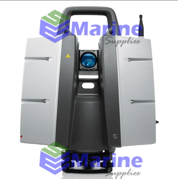
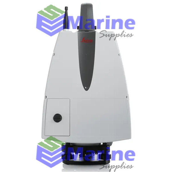
Leica Scanstation P30 High Definition 3D Laser Scanner.
Integrated 3D laser scanning solution providing unsurpassed speed, accuracy and range for demanding scanning projects
The ScanStation P30 is a high versatility scanner suitable for a wide range of typical scanning solutions. With its optimal mix of speed, range and accuracy paired with unmatched robustness, it is the all-in-one solution for the most comprehensive variety of applications.
High performance under harsh conditions
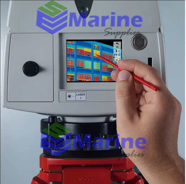
The Leica ScanStations deliver highest quality 3D data and HDR imaging at an extremely fast scan rate of 1 mio points per second at ranges of up to 120m. Unsurpassed range and angular accuracy paired with low range noise and survey-grade dual-axis compensation form the foundation for highly detailed 3D colour point clouds mapped in realistic clarity.
Reduced downtime
The extremely durable new laser scanners perform even under the toughest environmental conditions, such as extreme temperatures ranging from –20°C to +50°C and comply with the IP54 rating for dust and water resistance.
Complete scanning solution
Leica Geosystems offers the new Leica ScanStation portfolio as an integrated part of a complete scanning solution including hardware, software, service, training and support. 3D laser scanner data can be processed in the industry’s leading 3D point cloud software suite, which consists of Leica Cyclone stand-alone software, Leica CloudWorx plug-in tools for CAD systems and the free Leica TruView.
Description
Features & Benefits
Range up to 120m
Survey workflows and on-board registration
Onboard target acquisition
Survey grade dual-axis compensator
HDR imagery
IP54 rating
ScanStation P30/P40 delivers
- Highest quality 3D data and HDR imaging
- Extremely high speed scan rate of 1 mio points per second
- Ranges of up to 270 m
- Low range noise
- Survey-grade dual-axis compensation
- Highly detailed 3D colour point clouds mapped in realistic clarity
In the Box
- 1 x 827494 ScanStation P40
- 1 x 843956 Calibration Cert. “Silver”, TLS P-Series
- 4 x 793975 GEB242 Battery int. Li-Ion 14.8V/5.8Ah
- 1 x 766567 GEV228, data cable for Laser Scanner
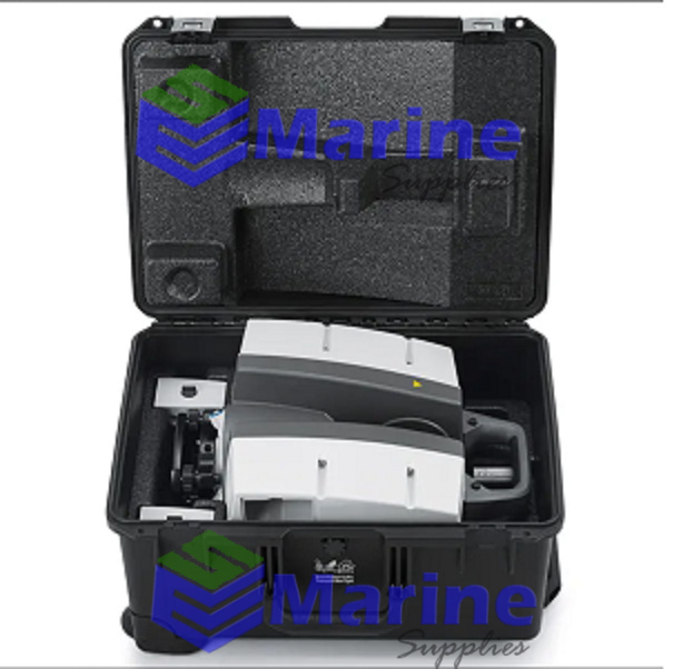
- 1 x 769625 ScanStation C10/P20 transport container
- 1 x 777970 GDF323 Tribrach PRO w/o opt. Plummet blk
- 1 x 772829 GHM008, Scanner height meter
- 1 x 722045 GHT196 Distance holder for height meter
- 1 x 829115 P50/40/30 System USB Stick
- 1 x 827778 Leica ScanStation P50/P40/30 QG,en
- 1 x 938024 Leica Cycl FIELD 360 – Pxx Info sheet
- 1 x 955235 Cyclone FIELD 360 Quick Plan Shipment FL
- 1 x 1432 PowerSupply Configuration
- 1 x 6009442 1 yr ScanStation P50/P40/P30 CCP Basic
- 1 x 799185 GKL311 single Charger Prof 3000
- 1 x 733272 GEV192-1 AC/DC-Adapter for GKL112/311 US
As part of the Leica Geosystems 3D Reality Capture solution, the Cyclone FIELD 360 app now links the 3D data acquisition in the field with the ScanStation P-Series laser scanner and final data registration in the office with Cyclone REGISTER 360. One-site, users can now automatically capture, register and examine scan and image data.
Leica ScanStation P30/P40 deliver highest quality 3D data and High-Dynamic Range (HDR) imaging at an extremely fast scan rate of 1 million points per second at ranges of up to 270m. Unsurpassed range and angular accuracy paired with low range noise and survey-grade dual-axis compensation form the foundation for highly detailed 3D colour point clouds mapped in realistic clarity.
The right choice
Complete scanning solution
Leica Geosystems offers the Leica ScanStation portfolio as an integrated part of a complete scanning solution including hardware, software, service, training and support. 3D laser scanner data can be processed in the industry’s leading 3D point cloud software suite, which consists of Leica Cyclone stand-alone software, Leica CloudWorx plug-in tools for CAD systems and the free Leica TruView.
1 review for Leica P30 3D Laser Scanner
Recent View
Olympus EPOCH 1000i Flaw Detector
Faro Freestyle 2 Handheld Scanner
Leica P30 3D Laser Scanner
Leica ScanStation P40 3D Scanner
Leica iCON iGD3 – 3D System
Topcon X-53i LPS Excavator Positioning System
Spectra Precision DG813 Pipe Laser w/ Spot Finder
Related Products
Industries from mining and exploration to scrap metal recycling depend on fast, accurate elemental analysis. The Thermo Scientific Niton XL3t GOLDD+ XRF Analyzer provides reliable, real-time data for sample identification and positive material identification for even difficult-to-analyze light elements, without helium purging or vacuum pumps. The Niton XL3t GOLDD+ Analyzer delivers a feature-rich package enhanced with Geometrically Optimized Large Area Drift Detector (GOLDD™) technology for improved light element (Mg-S) analysis, the lowest limits of detection and fastest measurement times.

Niton XL3t GOLDD+ Handheld XRF Analyzer
Highlights
- Designed for Accuracy and Efficiency
- Long-range Accuracy
- One-Person Operation
- Quick and Simple Operation
- Features PowerSearch Technology
- Long-range Bluetooth Communication
- One-Year Warranty

Leica iCON iCR80 Robotic Construction Total Station
Thermo Scientific Niton Apollo Handheld LIBS Analyzer

Niton Apollo Handheld LIBS Analyzer
Quickly identify and quantify lead resulting from damaged exterior paint, residual contamination from leaded gasoline, a former pesticide application or by-products from an industrial process. Thermo Scientific Niton XLp 300 Series XRF analyzers perform elemental analysis for residential lead paint testing and measure environmental contaminants in soil, sediment, dust, air and consumer goods, helping public health and environmental professionals pinpoint lead’s location, identify the sources of contamination and confirm that clearance criteria have been achieved after abatement.

Our store info

AMG Tower. Jl. Dukuh Menanggal No.1 A, Dukuh Menanggal, Kec. Gayungan, Kota SBY, Jawa Timur 60234 Branch Office :
13 Joo Koon Cres, Singapura 629021
Branch Office : +6552 4125
Customer care
Statistic
© 2022 Marine Surveying Supplies. All Rights Reserved.



marine –
Recommended Seller of Leica P30 3D Laser Scanner